72-Hour Backpacking Route: A Public-Transit-Friendly Trip in the Sierra Nevadas
Dreaming of the majestic Sierra Nevadas but don’t have a car, or perhaps you’re looking to reduce your carbon footprint while exploring the wild? Fret not, adventurer! Backpacking by public transit is not only possible but offers a unique sense of accomplishment and a deeper connection to the journey. While it demands meticulous planning and a minimalist mindset, the rewards of a car-free wilderness escape are immeasurable.
This guide will equip you with the knowledge to tackle a spectacular 72-hour (3-day, 2-night) backpacking route in the heart of Yosemite National Park’s high country, starting and ending in the accessible Tuolumne Meadows. Get ready to swap traffic for tranquility and embark on an unforgettable Sierra adventure.
Why the Sierra Nevadas & Public Transit?
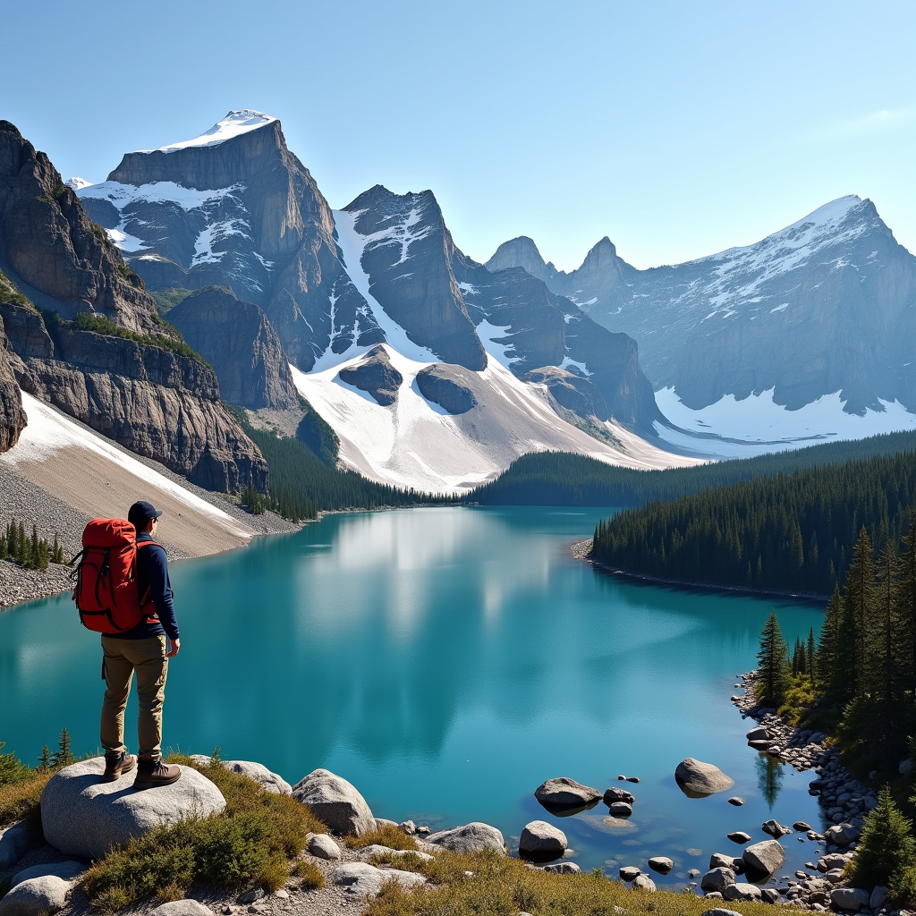
The Sierra Nevada range, a granite wonderland stretching across California, offers unparalleled beauty with its towering peaks, ancient forests, and pristine alpine lakes. Yosemite’s high country, in particular, showcases this grandeur away from the Valley crowds, providing a true wilderness experience.
Choosing public transit like the Yosemite Area Regional Transportation System (YARTS) isn’t just an eco-conscious choice; it transforms your trip into a more mindful journey. It eliminates the hassle of parking, allows you to relax and enjoy the scenic ride, and fosters a sense of independence, proving that epic adventures don’t require a personal vehicle.
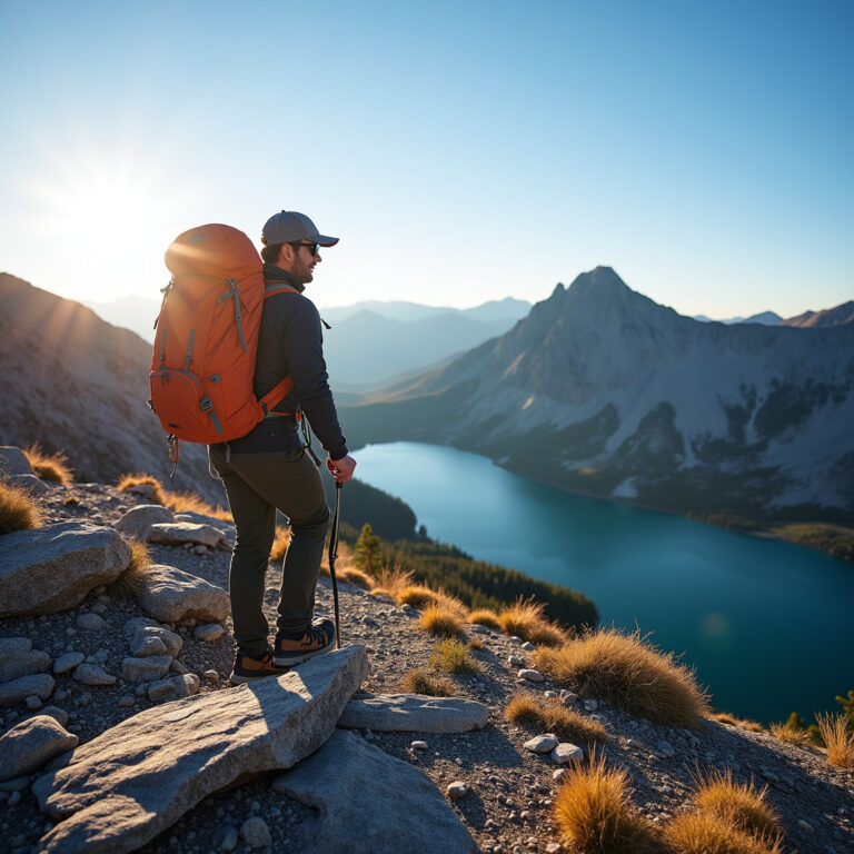
The Route: Tuolumne’s High Country Loop (Approx. 20-25 miles)
Our chosen route is a rewarding loop originating from Tuolumne Meadows, exploring significant portions of the Grand Canyon of the Tuolumne and offering stunning vistas. This trip is best undertaken when Tioga Road is open, typically from late May or early June through October, as this is when YARTS serves Tuolumne Meadows.
Permits: Your Golden Ticket to the Wilderness
Wilderness permits are absolutely mandatory for overnight stays in Yosemite’s backcountry. Securing one requires foresight, often through a lottery system for popular trailheads. For up-to-date information and to apply, visit the NPS Yosemite Wilderness Permits page. Plan your entry and exit points carefully, as your permit will specify your trailhead and first night’s camping zone.
Getting There (Day 0: Travel Day)
The journey begins before the hike itself. Take Amtrak to Merced, California. From Merced, board a YARTS bus directly to Tuolumne Meadows. The YARTS schedule is crucial for planning your arrival and departure times, so consult their website well in advance. Consider booking a night at the Tuolumne Meadows Campground or Tuolumne Lodge (if open) for an early start on Day 1.
Day 1: Tuolumne Meadows to Glen Aulin (Approx. 7-8 miles)
- Trailhead: Begin your hike from near the Lembert Dome/Tuolumne Meadows Visitor Center area, accessing the Pacific Crest Trail (PCT)/John Muir Trail (JMT) heading north.
- Description: This day offers a relatively gentle start, with a gradual descent into the Grand Canyon of the Tuolumne. You’ll follow the meandering Tuolumne River, passing through lush meadows and enjoying the solitude of the high country. Keep an eye out for abundant wildflowers in early summer.
- Campsite: Aim for a designated wilderness campsite in the Glen Aulin area. Remember, a bear canister is mandatory in Yosemite, and all food and scented items must be stored inside. Follow all Leave No Trace principles.
Day 2: Glen Aulin to May Lake (Approx. 7-8 miles)
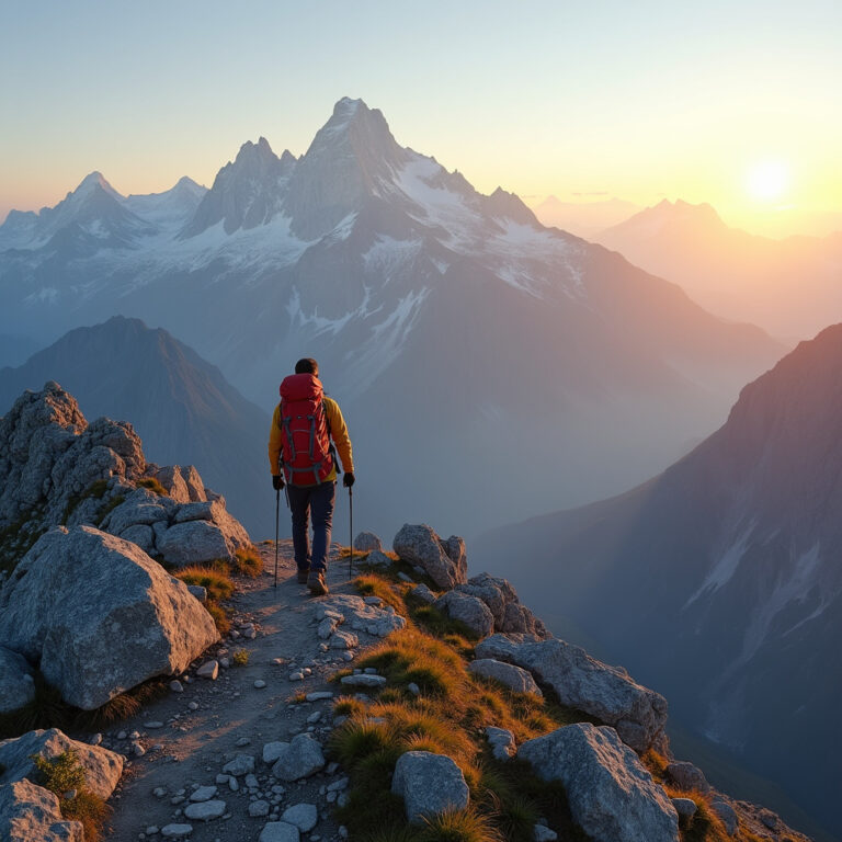
- Description: Today is arguably the most challenging but also the most rewarding. From Glen Aulin, you’ll begin a significant ascent towards Tenaya Lake. The trail can be steep in sections, but the views back into the canyon and eventually towards Tenaya Lake are breathtaking. From Tenaya Lake, you’ll climb further via switchbacks to reach May Lake, nestled beneath the impressive Mount Hoffmann.
- Campsite: Find a suitable wilderness campsite in the May Lake area. Enjoy the serene beauty of the lake and the granite cirque surrounding it. If time and energy permit, a scramble up Mount Hoffmann offers panoramic views of the entire park.
Day 3: May Lake to Tuolumne Meadows (Approx. 5 miles)
- Description: Your final day is a shorter, mostly downhill journey back to your starting point. Descend from May Lake, potentially connecting to the Cathedral Lakes trailhead access road or other paths that lead back to Tioga Road and the Tuolumne Meadows area. This allows for a relaxed morning and ample time to catch your YARTS bus.
- Return: Head to the Tuolumne Meadows Visitor Center or Lodge to catch your YARTS bus back to Merced, connecting with your Amtrak train home.
Minimalist Gear for Maximum Enjoyment
When every ounce counts, especially without a car to stash extra gear, a minimalist approach is key. Focus on multi-functional, lightweight items.
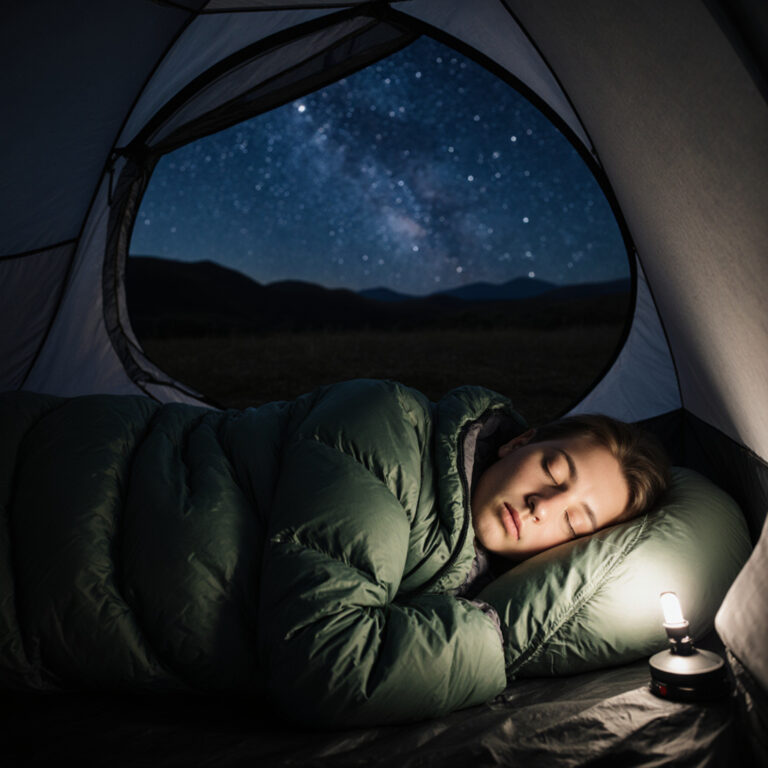
- The Big Three: A lightweight backpack (40-50L is ideal), a 3-season tent or tarp, and a sleeping bag rated for 15-30°F with an insulated sleeping pad.
- Kitchen: A compact stove, small fuel canister, titanium pot, spork, and lightweight, dehydrated meals. Don’t forget a bear canister – it’s non-negotiable in Yosemite!
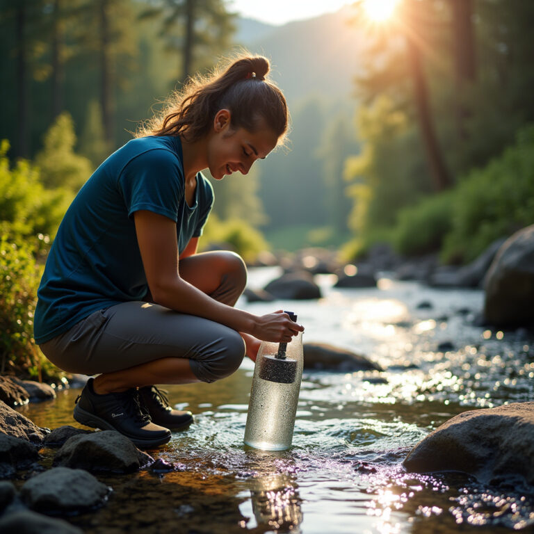
- Water: A reliable water filter or purifier (like a Sawyer Squeeze) and enough carrying capacity for 2-3 liters. The Sierras have abundant water sources, but always filter.
- Navigation: A physical map of the area, a compass, and a GPS device or smartphone app (e.g., Gaia GPS, AllTrails) with downloaded offline maps. Know how to use them!
- Clothing: Layers are vital. Think wicking base layers, a warm fleece or puffy mid-layer, and a waterproof/breathable rain jacket and pants. A warm hat and gloves are smart, even in summer.
- Safety & Essentials: A comprehensive first-aid kit, headlamp with extra batteries, whistle, sun protection (hat, sunglasses, sunscreen), and biodegradable toiletries.
Essential Skills & Safety for the Sierra Backcountry
Preparedness is paramount for a safe and enjoyable trip.
- Bear Safety: Beyond the mandatory bear canister, know how to react in a bear encounter. Make noise while hiking, and never approach or feed wildlife.
- Water Management: Hydrate consistently, even on cooler days. Identify potential water sources on your map and purify all water.
- Navigation Proficiency: Understand how to read your map and use your compass. While GPS is helpful, batteries die.
- Leave No Trace: Practice all seven principles diligently. Pack out everything you pack in, camp on durable surfaces, dispose of waste properly (dig cat holes 6-8 inches deep, 200 feet from water/trail), and minimize campfire impacts (or avoid them entirely). Your respect helps preserve these pristine environments for future generations.
- Physical Preparation: This route involves elevation gain and mileage. Train by hiking with a loaded pack before your trip.
Embark on Your Car-Free Sierra Adventure!
A 72-hour backpacking trip in the Sierra Nevadas, accessible by public transit, is more than just a hike; it’s an affirmation of responsible adventure and self-reliance. It challenges you to plan meticulously, pack thoughtfully, and embrace the journey as much as the destination.
So, gather your gear, secure your permits, and let the convenience of YARTS whisk you away to the unparalleled beauty of Tuolumne’s high country. The granite peaks, crystalline lakes, and towering pines await your car-free footsteps. Happy trails!