How to Read a Contour Map to Understand Terrain
Unlock the Wilderness: Your Guide to Reading Contour Maps
Navigating the great outdoors is about more than just following a trail. It’s about truly understanding the land beneath your feet, the hills that rise before you, and the valleys that snake through the landscape. While GPS devices are incredibly powerful, they’re only one piece of the puzzle. The true key to becoming a self-reliant wilderness explorer lies in a skill that has guided adventurers for centuries: reading a topographic map, specifically its contour lines. At WildGridScout, we believe in empowering you with practical outdoor skills, and few are as foundational and rewarding as this one. Let’s dive into how these elegant lines on a map can reveal the secrets of the terrain.
What Are Contour Lines, Anyway?
Imagine a giant layer cake, but instead of frosting, each layer represents a specific elevation. Now, imagine slicing that cake horizontally at regular intervals. If you looked down from above, the edges of those slices would be the contour lines on your map. In more technical terms, contour lines connect points of equal elevation above a given reference point, usually sea level. Every point on a single contour line shares the exact same elevation.
Understanding two key elements will jumpstart your interpretation:
- Contour Interval: This is the vertical distance or difference in elevation between adjacent contour lines. It’s always specified in the map’s legend (e.g., “Contour Interval: 40 feet” or “20 meters”). A smaller interval means more detail for subtle terrain changes.
- Index Contours: To make reading less tedious, every fifth contour line is typically thicker and labeled with its elevation. These “index contours” act as signposts, making it easier to quickly ascertain elevation at different points on the map.
Decoding the Landscape: What the Lines Tell You
Once you grasp the basics, the true magic begins. Contour lines paint a three-dimensional picture on a two-dimensional surface. Here’s how to interpret their patterns:
Steep vs. Gentle Slopes
The spacing of contour lines is your immediate indicator of terrain steepness:
- Closely Spaced Lines: Where contour lines are packed tightly together, the terrain is steep. Imagine climbing stairs where each step is very close to the next – a rapid ascent or descent.
- Widely Spaced Lines: When lines are far apart, the slope is gentle. This indicates an easier climb or a relatively flat area, perfect for finding a campsite or a more relaxed hiking path.
Ridges and Valleys
These fundamental landforms appear as distinctive V- or U-shapes:
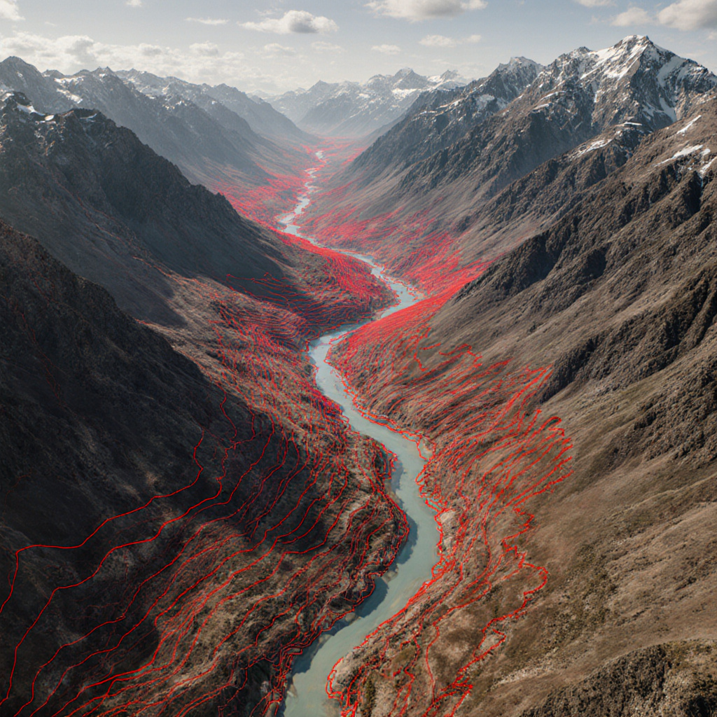
- Valleys and Watercourses: Contour lines form V-shapes that always point *uphill* or toward higher elevation. The “V” points in the opposite direction of water flow. If there’s a blue line drawn through the V, it typically indicates a stream or river. Remember: “V’s point to Heaven” (uphill) for valleys.
- Ridges: These are the opposite of valleys. Contour lines form U- or V-shapes that point *downhill* or toward lower elevation. The rounded part of the U or V will point towards the higher ground, indicating a crest or a spur coming off a larger hill.
Summits and Depressions
Look for closed circles to identify peaks and hollows:
- Summits/Peaks: A series of concentric closed circles indicates a hill or mountain peak. The smallest, innermost circle represents the highest point.
- Depressions/Hollows: These are also closed circles, but with small tick marks (hachures) pointing inward. These marks signify that the elevation is decreasing towards the center of the circle, indicating a sinkhole, quarry, or other dip in the terrain.
Saddles
A saddle is a low point between two higher points, much like a horse’s saddle. On a map, it appears as an hourglass shape where contour lines dip down between two peaks and then rise again. Saddles are often natural passes or crossings, but can also be wind tunnels, so be mindful of weather conditions.
Putting It All Together: Practical Application in the Field
Knowing what these shapes mean is powerful, but applying that knowledge is where it truly shines:
- Route Planning: Before you even step foot on the trail, you can analyze the terrain. Want an easier hike? Look for widely spaced contours. Ready for a challenge? Seek out those tightly packed lines. Identify potential bottlenecks, dangerous steep sections, or easy traverses.
- Estimating Effort: A quick glance at the contour interval and spacing allows you to estimate elevation gain and loss, helping you gauge the physical demands of your chosen path.
- Finding Water Sources: Follow those V-shaped contours with blue lines, knowing water typically flows downhill.
- Campsite Selection: Look for flatter areas (widely spaced contours) on ridges or benches, often near water but away from potential flash flood zones in deep valleys. Avoid depressions that can collect water.
- Navigation in Low Visibility: Fog, darkness, or dense foliage can obscure your view. Your contour map becomes your eyes, allowing you to “see” the terrain around you and maintain your bearing without visual cues.
Tips for Practice and Mastery
Like any skill, reading contour maps improves with practice:
- Start Local: Get a topographic map of an area you know well. Try to identify familiar hills, valleys, and features on the map.
- Compare Map to Reality: As you hike, constantly refer to your map. Compare what you see on the ground with the contour lines. How do the steepness, ridges, and valleys match up?
- Use Online Tools: Websites like CalTopo or Gaia GPS allow you to view detailed topographic maps and even visualize terrain in 3D, which can be an excellent learning aid.
- Hike with Purpose: Plan your routes specifically to practice reading contours. For example, try to navigate to a specific saddle or around a steep face.
Conclusion
Mastering the art of reading contour maps is a transformative skill for any outdoor enthusiast. It deepens your connection to the landscape, enhances your safety, and opens up a world of adventure beyond marked trails. It’s a skill that never runs out of battery, doesn’t rely on satellite signals, and provides an unparalleled understanding of the wild places we love to explore. So grab a map, unfold its secrets, and start seeing the wilderness in a whole new dimension.
Sources:
- U.S. Geological Survey (USGS). “What are topographic maps?”
- REI Co-op. “How to Navigate Terrain Using a Map and Compass.”